Day Two.
An early rise, sunshine streamed in the window.
The legs felt good and after a Scottish full breakfast, it was up to Caranis, first head towards the ferry terminal on the island of Berneray.
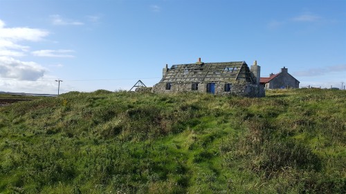
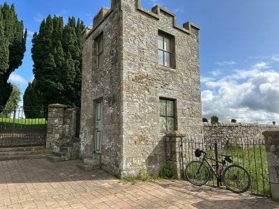
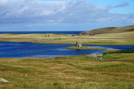
Ruin
View to Harris
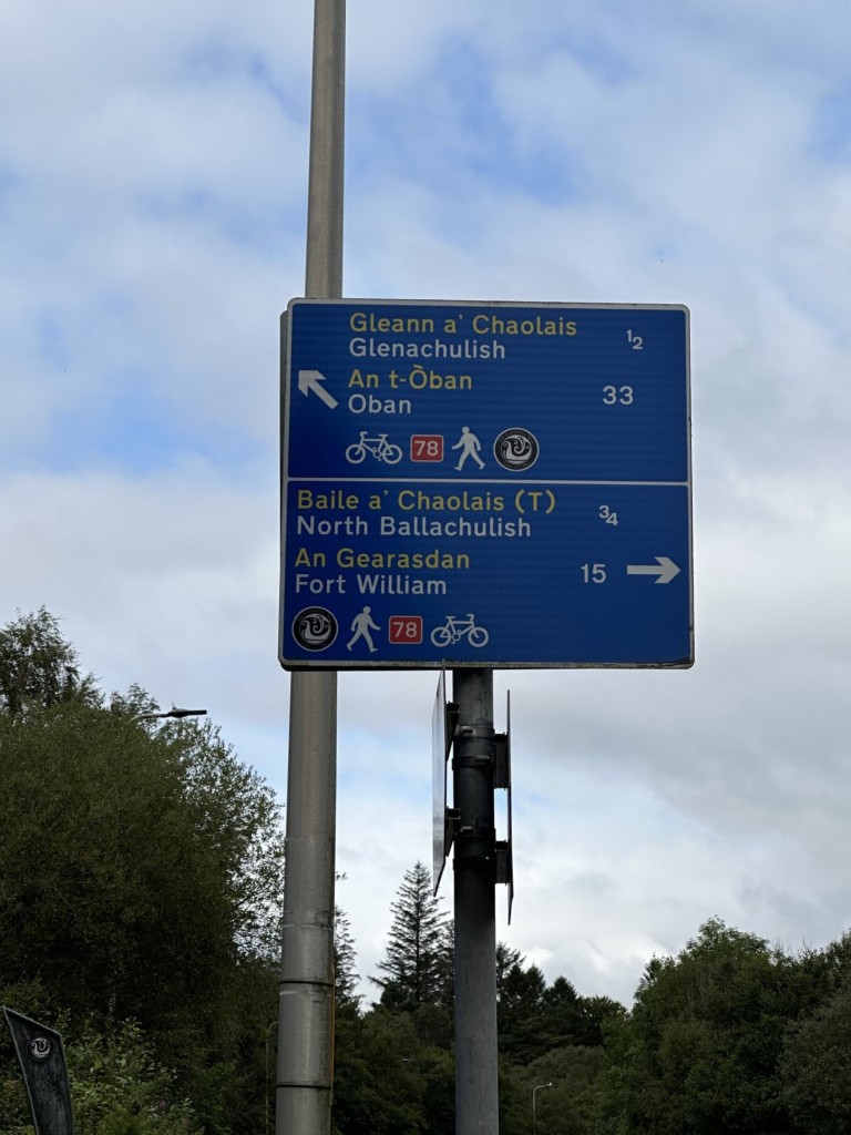
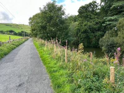
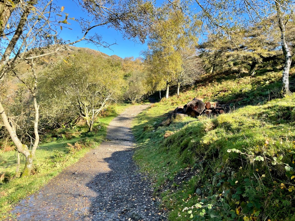
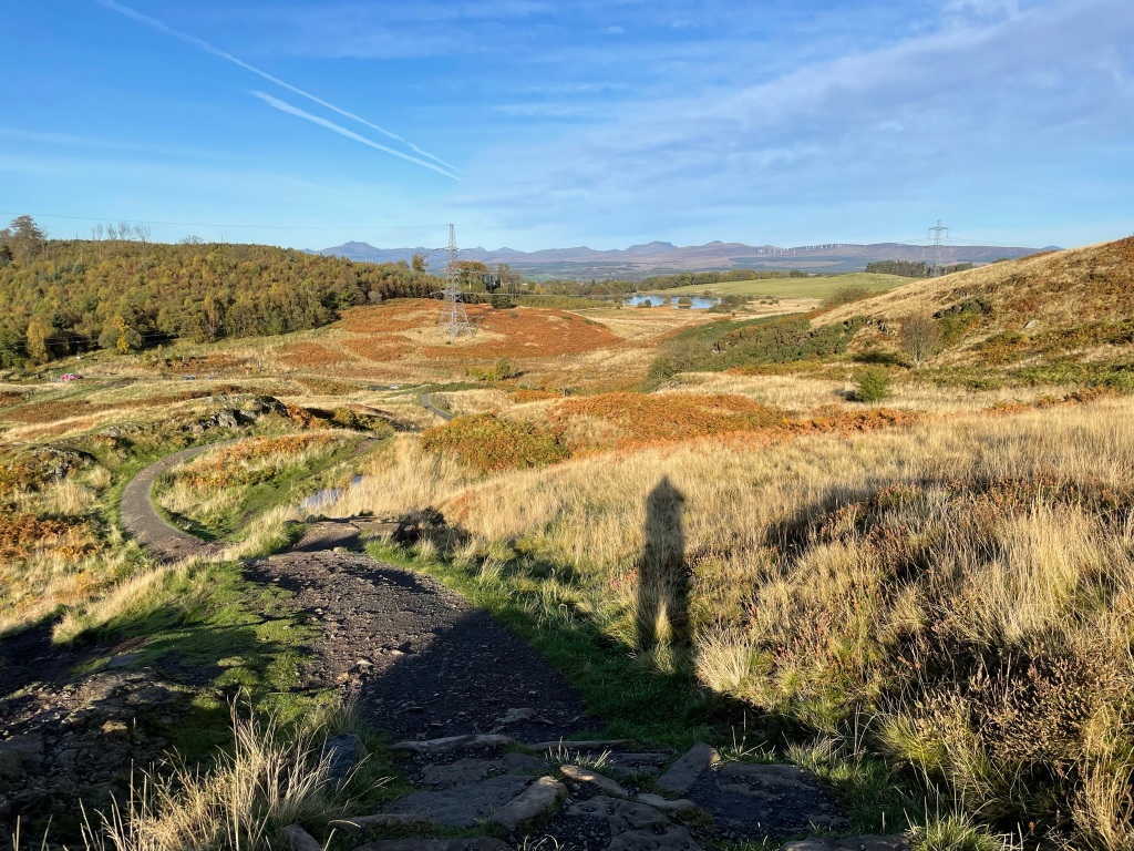
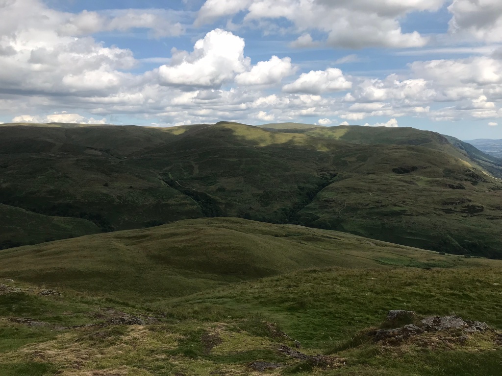
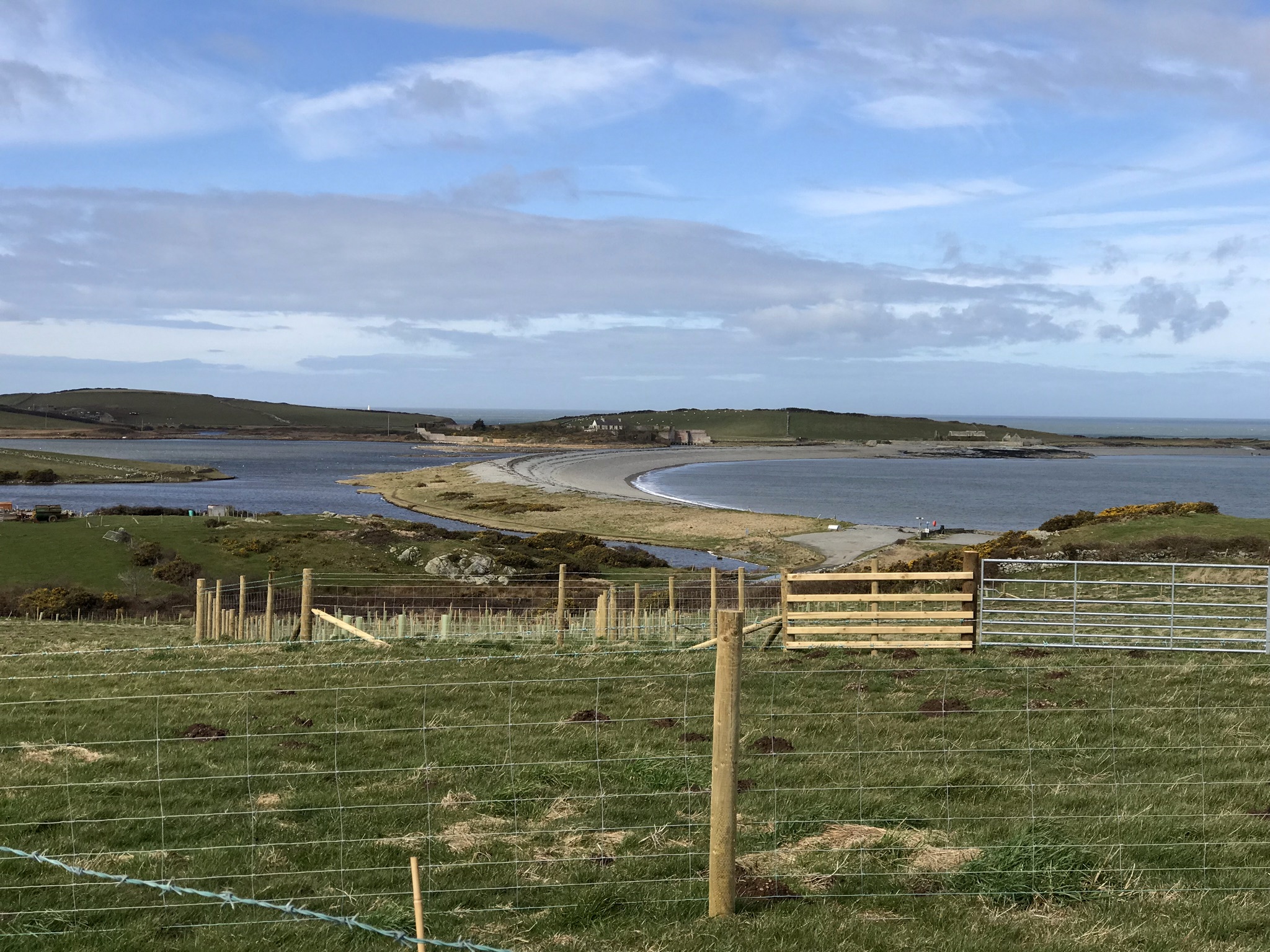
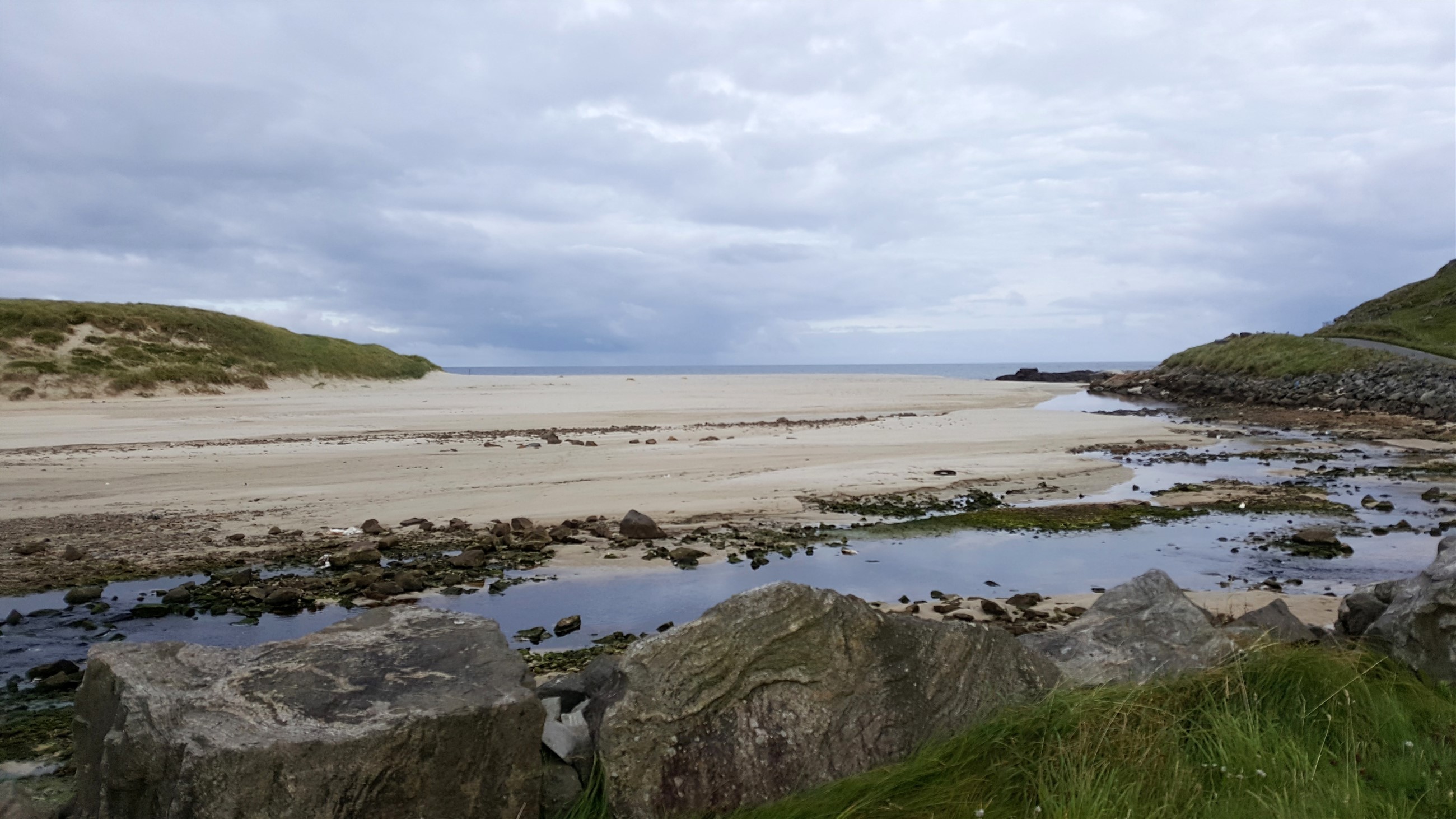
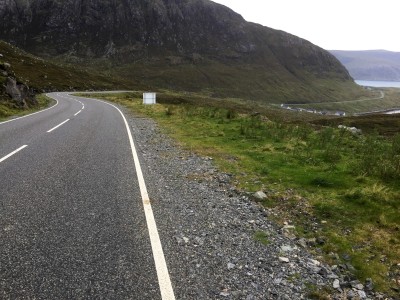
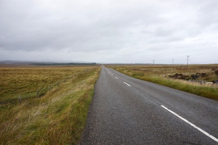
The A865 road was quiet, and I made my way along the western part of North Uist, a nice rolling start to my run, I met a few cyclists heading south. Passing through Kirkibost, I finally felt the wind at my back which pushed me on my way, the road surface was excellent with the odd rise and fall, I came across a tower on a small island on Loch Scolpaig, I’ll leave the history bit to HERE. I’d left plenty time for the first stage of today’s journey and had met Katie en-route who pointed out mountain bikers crossing (later found out) Traigh Bhalaigh ford across to Vallay Island, a line of them all strung out and I met more than a few on the road as I headed, apparently part of The Heb 2017, looks fun.
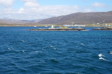
Leaving Berneray
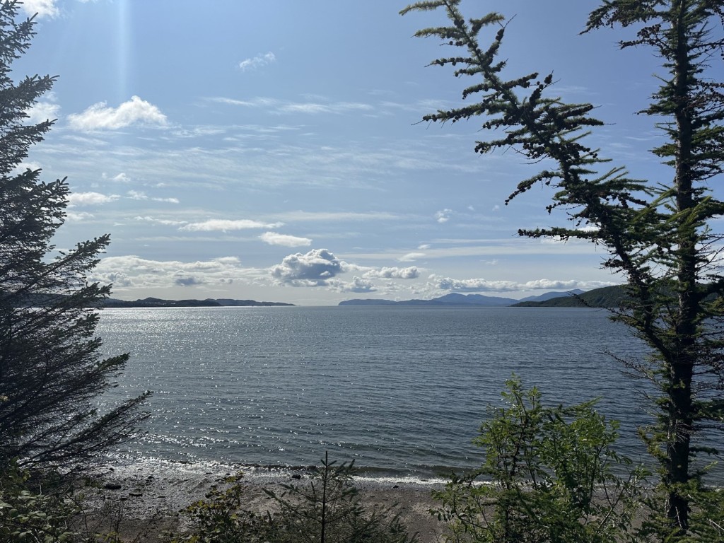
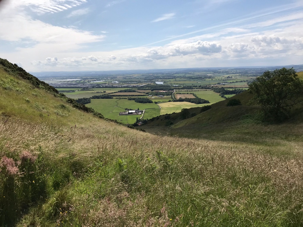
Loch Scolpaig
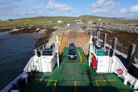
Tempus fugit and a quick stop before finding myself on the long causeway to the terminal at Berneray. A quick, scenic journey. I chatted with two cyclists, one doing the Way and the other just working his way around North Uist, with his last day on Harris.
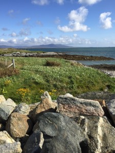
Berneray shore
Cyclists called on first, one other bit of advice if doing it the way I did, make sure the car has a booking, luckily we got on. As I sat waiting on the sail to start, I called CalMac and booked our ferry trip from Harris to Skye a few days later, just for when.
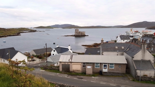
A smooth journey of 50 mins saw us landing at Levenburgh on Harris, I knew the hilly bits started here but I was looking forward to seeing the famed white beaches as I passed through the lower half of the island heading to Tarbet. We had decided to get three days B&B in Tarbet so Katie headed on. If no contact, I’d head to the pier-head at Tarbet and we’d meet there.
Levenburgh awaits
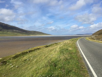
South Harris
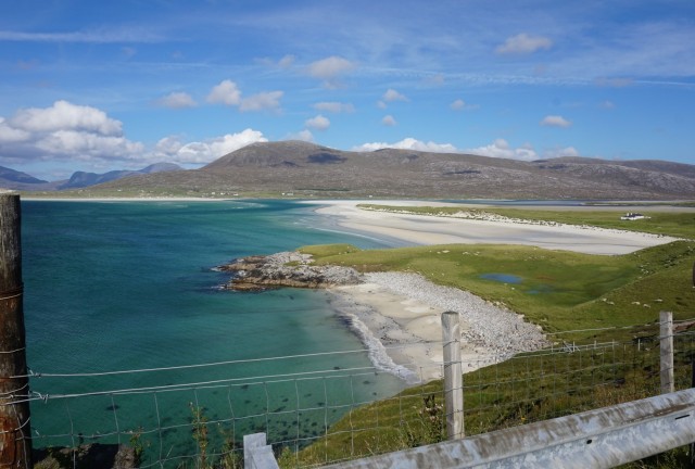
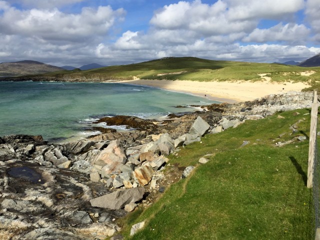
A short, steep climb out of Levenburgh and a chat with one or two people doing the same route, I swept down past Northton and the first of the beaches stretching out to my left but the best was yet to come, I turned a corner and was taken aback, wow!.
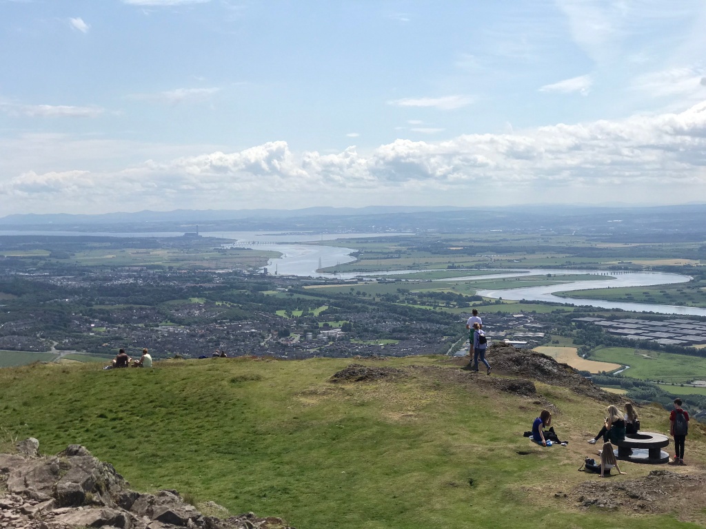
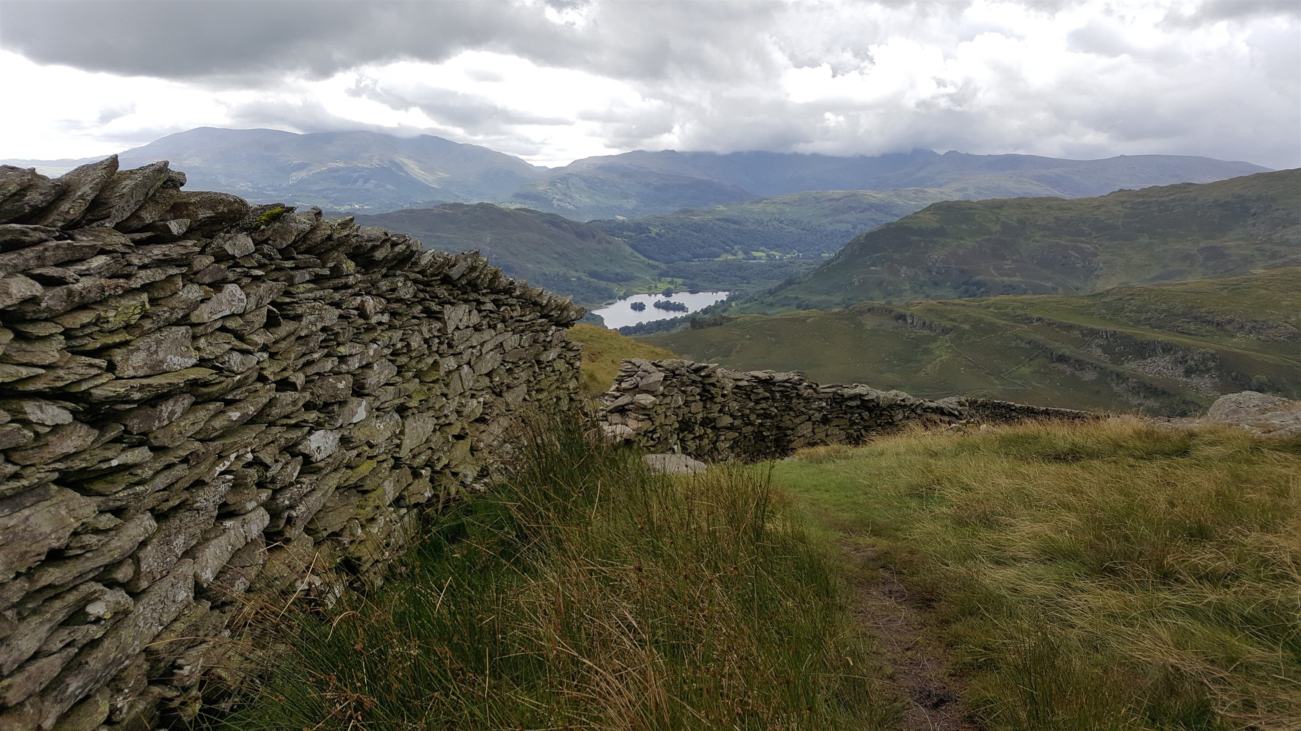
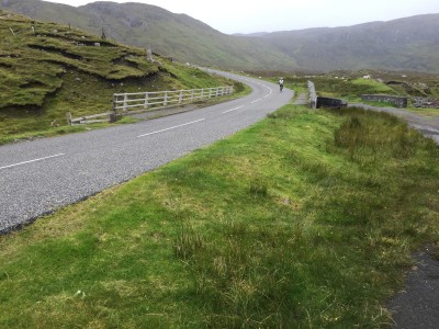
I think every car had stopped to take a photo, the laybys were busy but a bike can sneak in anywhere. This part of the coast is as good it gets for scenery. I headed inland to start the first haul up over a freshly surfaced road, a low gear and steadily I reached the summit of the road, the run into Tarbet would be fun. Sweeping down and I saw the sign for the Golden Road, we were later to spend one night in Cruer, the history of the road HERE.
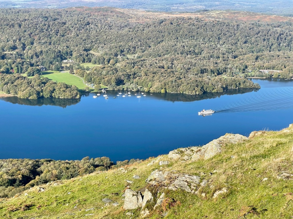
A long gradual descent found me meeting the car outside the Isle of Harris distillery, a smidgen under 50 miles covered. The run was done in perfect cycling weather.
It was off to find dinner.
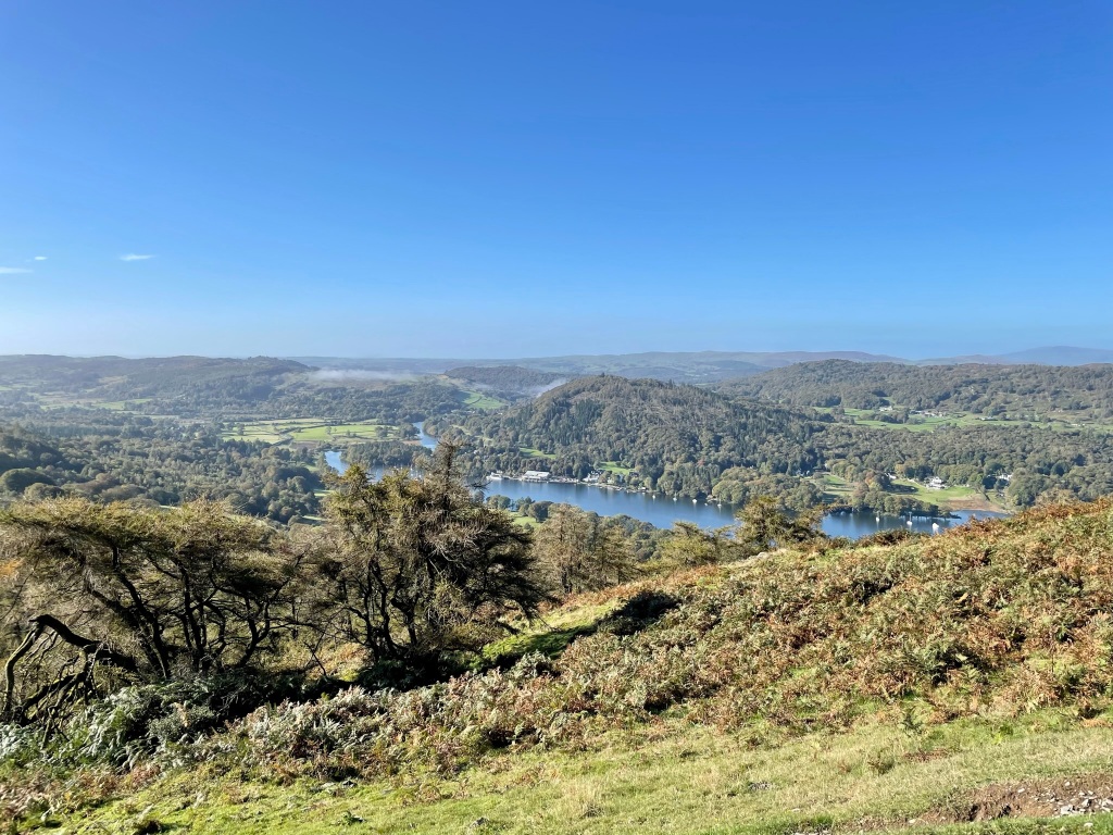
Looking to Luskentyre
Stunning

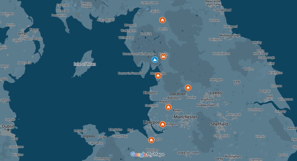
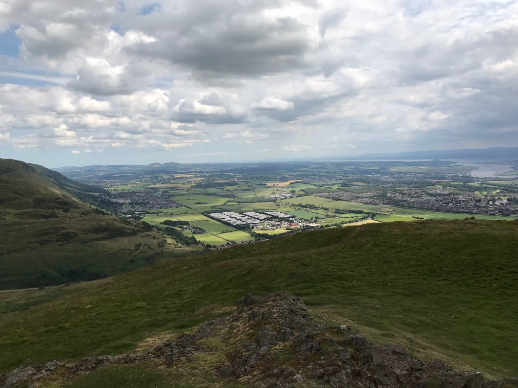
Benbecula North Uist Harris
Tomorrow would take me up to the highest point of my trip.
Day Three.
The worst is over
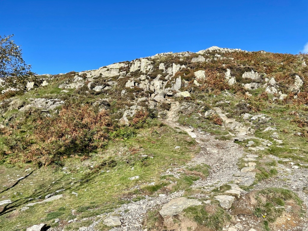
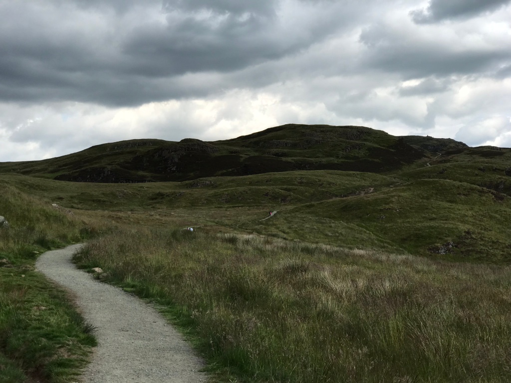
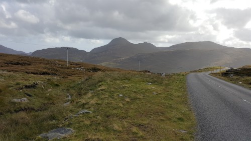
I’d hoped to split the rest of the Way into two days, making to the area to the north of Callanish then heading to the Butt of Lewis the following day, merging that with a trip into Stornoway. There was some drizzle in the air as I set off from the distillery, rising up past our B&B and turning north into the hills, cloud hid the summit of An Cliseam, the highest point in the Outer Hebrides and it was a steep rise up its eastern slopes levelling with more rise to come before descending down quickly to sea level, I plodded up with a steady drizzle and occasion breeze in my favour, I summited the first part and set off to meet the next rise which had looked much steeper on my route planner but in reality, after the main climb it was an easy hill to top, I got my breath back knowing it was time to whiz downhill, I soon slowed down as the gusty cross winds made my front wheel twitch so better to be safe than sorry.
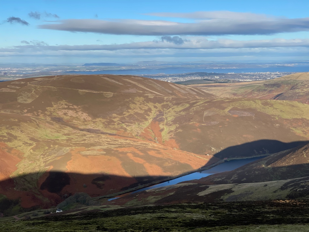
High road behind me
The forecast had been for rain and high winds. The worst was over and it was a steady, gradual run up to the sign welcoming me into Lewis. I wonder why one island, two ‘Isle of’? Harris is the hilly part to the south, Lewis the flatter part is to the north.
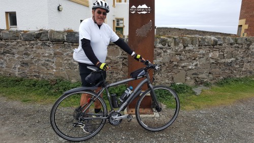
Bob
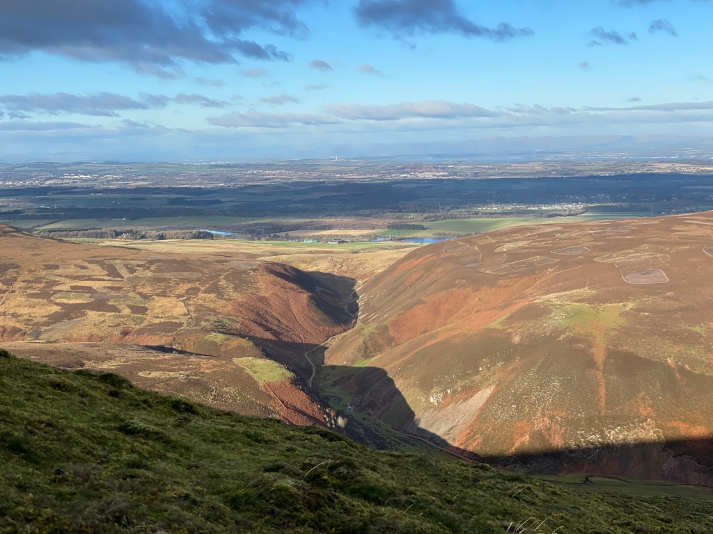
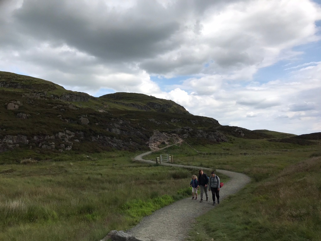
I carried on through townships making good speed and took the A 858 towards Callanish over long stretches of barren moorland, the drizzle had turned to light rain but I thought I could finish this today, I stopped and said ‘Let’s go for this’, legs were feeling good plus I was making a good time, feeding and drinking regularly. The roads fell and rose but with no serious hills, I arrived at Callanish, I’d pop in on my return at the Standing Stones in case time was at a premium.
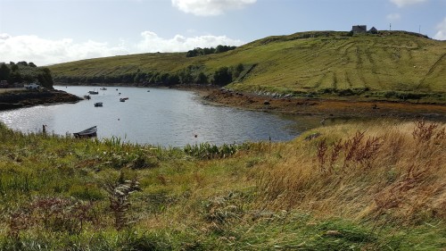
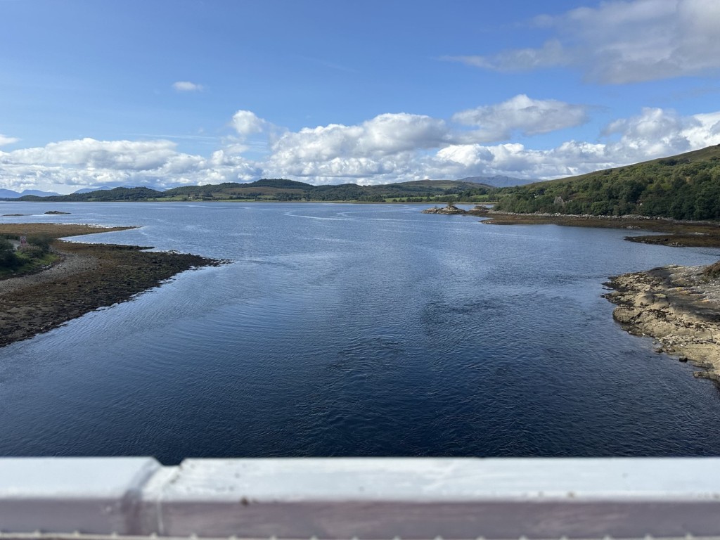
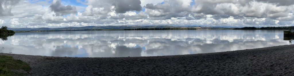
One of the many sea inlets
A refuelling stop with a fresh bidon of water and more chocolate and gummies. I’d fuel every few miles to keep the legs fresh. I passed through villages which I knew through doing family history, it was satisfying to finally see them. I now had the wind at my back on occasion with the odd crosswind, it didn’t seem to follow any pattern. I could see occasional mounds of cut peat piled up at the side of the cutting area waiting to be collected.
Passing through Carloway, Shawbost, Bragar and it was on to the A 857 to Barvas, I knew I was on the final stretch and this kept the legs going, I did stop at Suainebost as there are strong family connections with the area. Onward and it was a quiet road, maybe because it was Sunday. This is where it kinda went astray, we’d been following the excellent signage and I saw a sign on my left saying Rudha something,
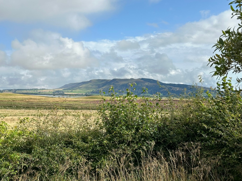
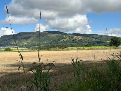
Barren landscape on Lewis
I thought as I headed on, that’s Gaelic for headland, I soon arrived at the Port of Ness. This wasn’t right. A quick consult with a map, the turn off had been where I had seen the ‘Rudha’ sign at Lionel so it was back and off out to the lighthouse with the final section being an easy journey.

Harris Lewis
I saw on the return journey, the blue sign had been damaged but was behind another other sign, you couldn’t see it until you were passed, oh well.
The end
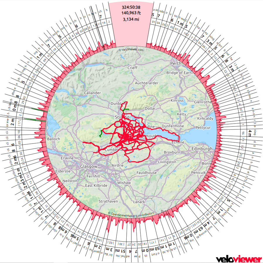
Day Three was 75 miles. A total of three days cycling, spending just over 16 hours in the saddle, 185 miles and approximately 9,000 feet ascent in total.
The End, was it worth it? Aye!
I was so concentrated on getting the final part of Day Three, I never took the photos I intended but I’ll have a follow-up post which will be a short resume of my Stornoway, Skye visit.( Soon, I promise)
What’s next?
I’ll spend the winter months mulling over options.
I’d like to thank Katie as without her help, I’d have had to make alternate plans, CalMac for getting me there and the encouragement given out by everyone I met.
Lesson learnt? as in Part One, I said to book ahead for accommodation and on Barra, dinner reservation. Ferry tickets? HERE
I’d bought a ‘Hopscotch’ ticket which took me from Oban to Barra, Barra to Eriskay, Berneray to Levenburgh, Tarbet (Harris) to Uig (Skye) and a further link to Mallaig. Various options are available, check first or just wing it if it’s you and the bike.
I found a book dedicated to the route in a Stornoway bookshop.
‘Cycling The Hebridean Way’ by The Offcomers HERE
I wish I’d found this earlier, a fantastic guide with all the information you will need and updated it seems yearly. I’ll use it next year.
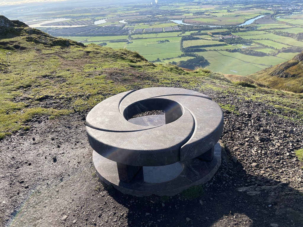
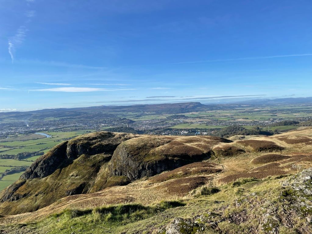
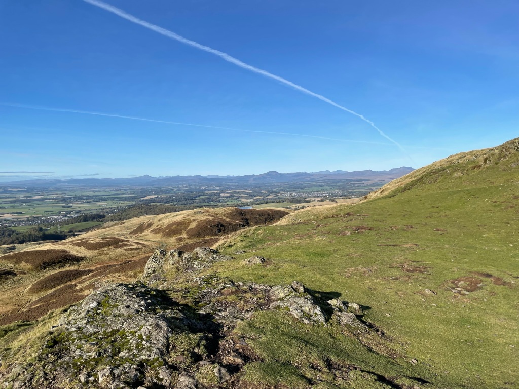
To embiggen any image, just click on.

Here goes, hills

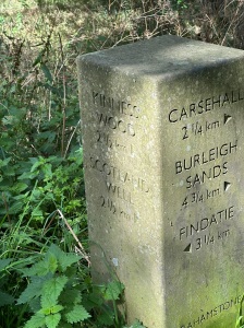
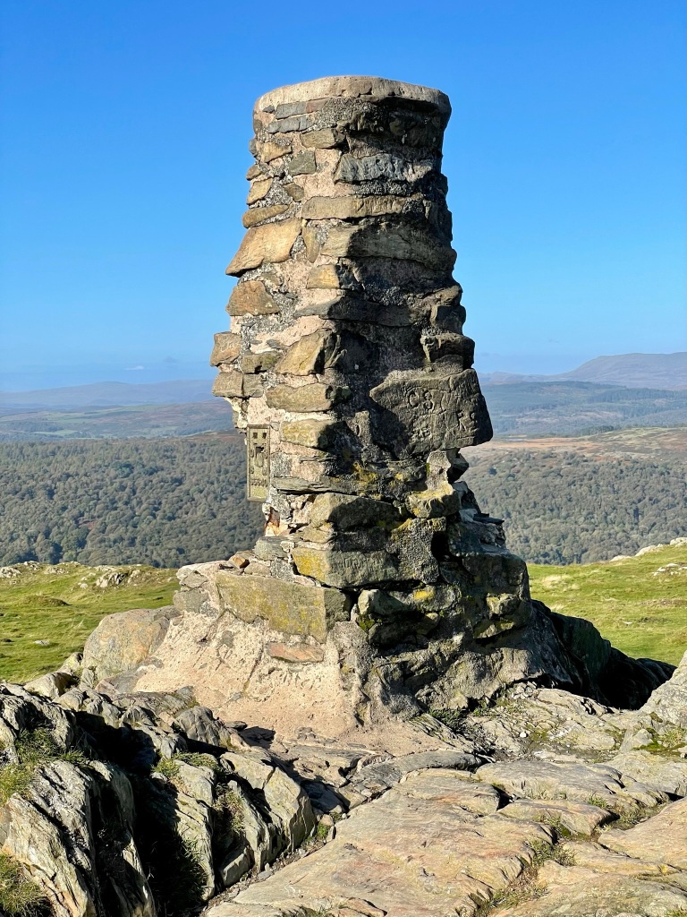
Info board

View

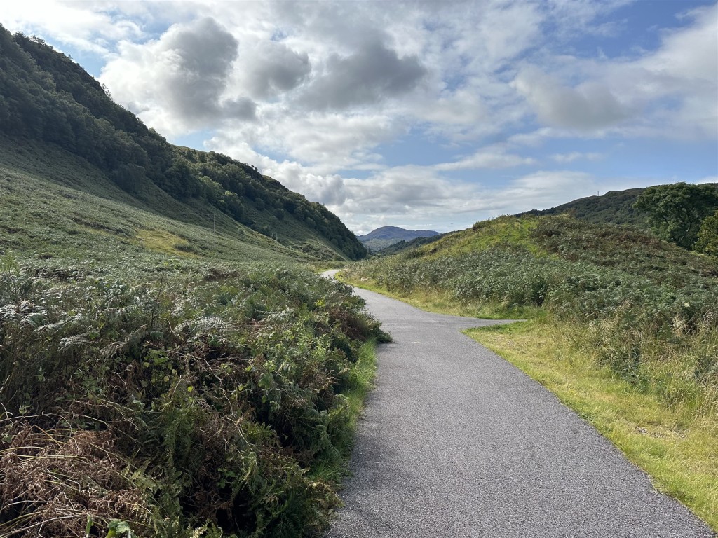
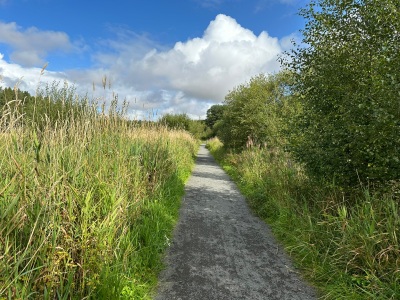
New and old roads

the ‘flatter’ isle

These beaches

Tarbet Ferry Terminal

Family connections

So white

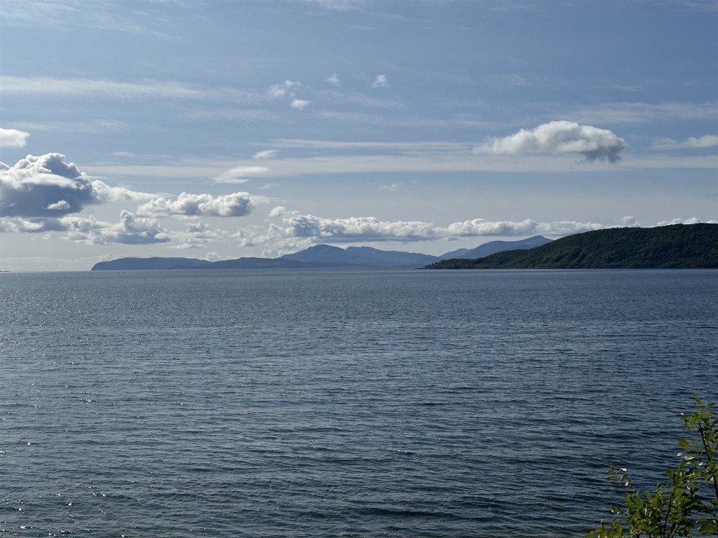
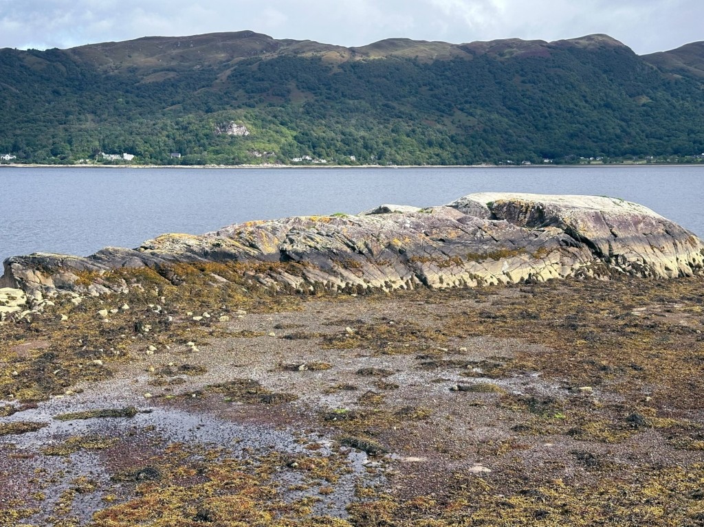
the sea colours

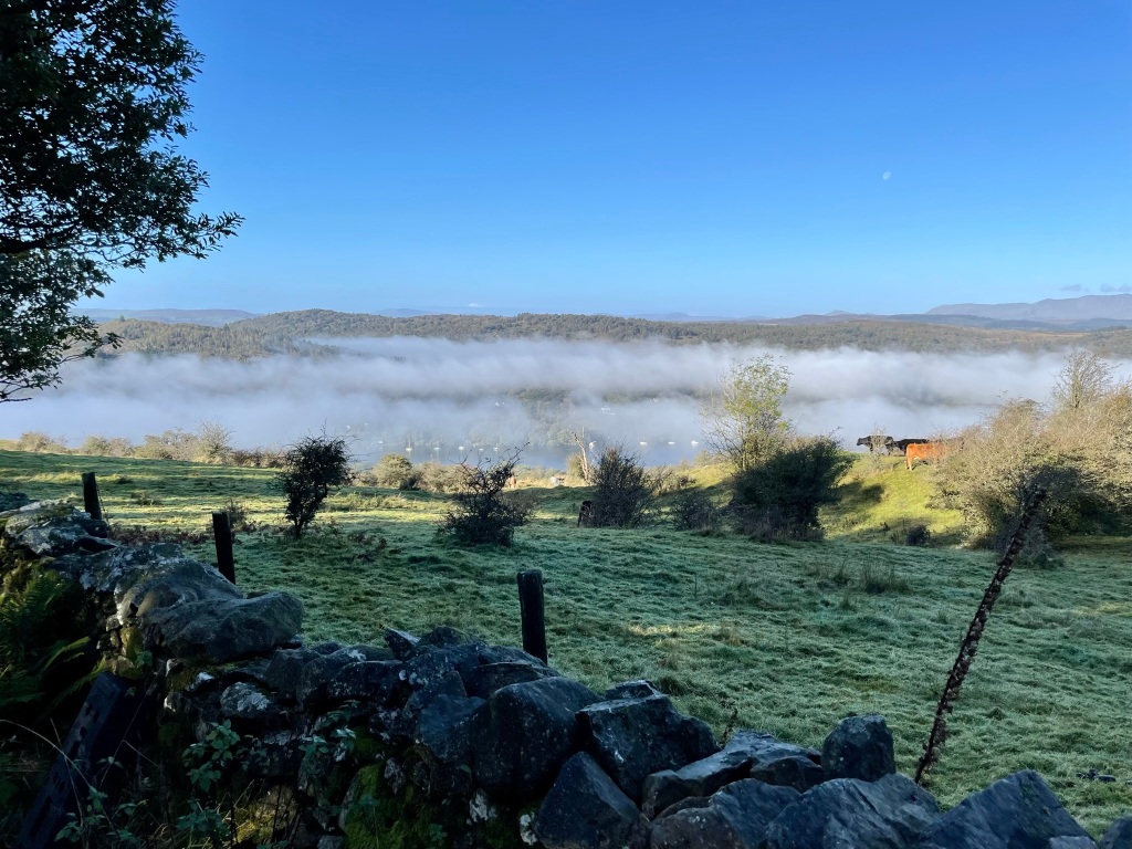
Day two weather

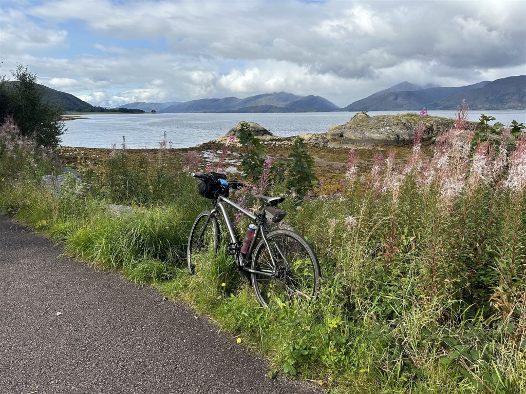
Excellent road surface

Port of Ness

Ceapabhal, Harris

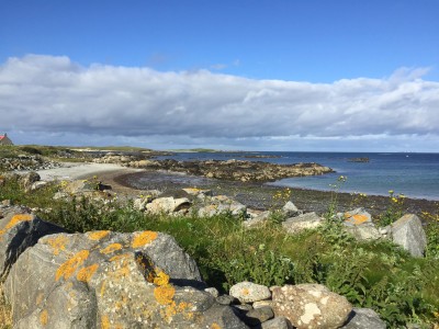
Harris beach

Bob powers on

West Loch Tarbet

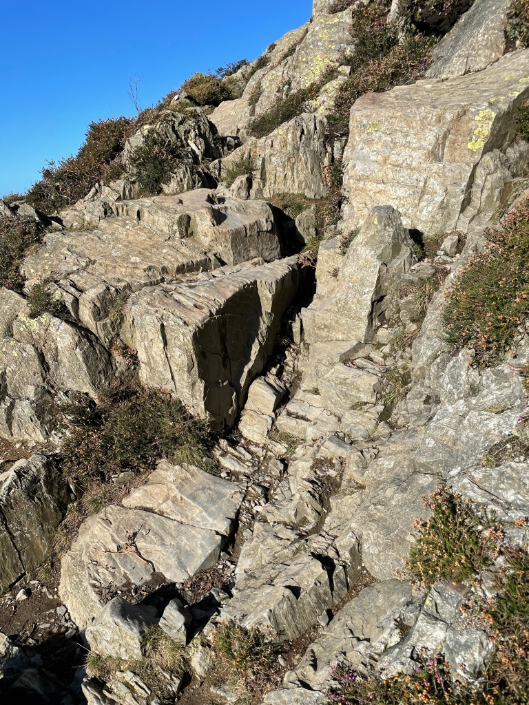
Butt of Lewis cliffs

Harris awaits

Veiw from Berneray