
It’s been a while since I’ve headed on a longer ‘out’.The month of April had been a month in which I’d kept regular shorter runs than normal due to the Covid-19 lock down, we had a ‘one-a-day exercise’ option so I kept my mileage down, I thought of a longer cycle but where?
I mulled over one or two with no firm decision and when I saw cooler weather forecast I thought, time to go.
An early start saw me heading over to join the Forth & Clyde Canal mid way between Allandale and Bonnybridge, I took the decision to risk a run along the canal bank as I had hoped the number of folk would be minimal, the two metre distancing rule in mind, it was quiet, the cooler weather or the early start?
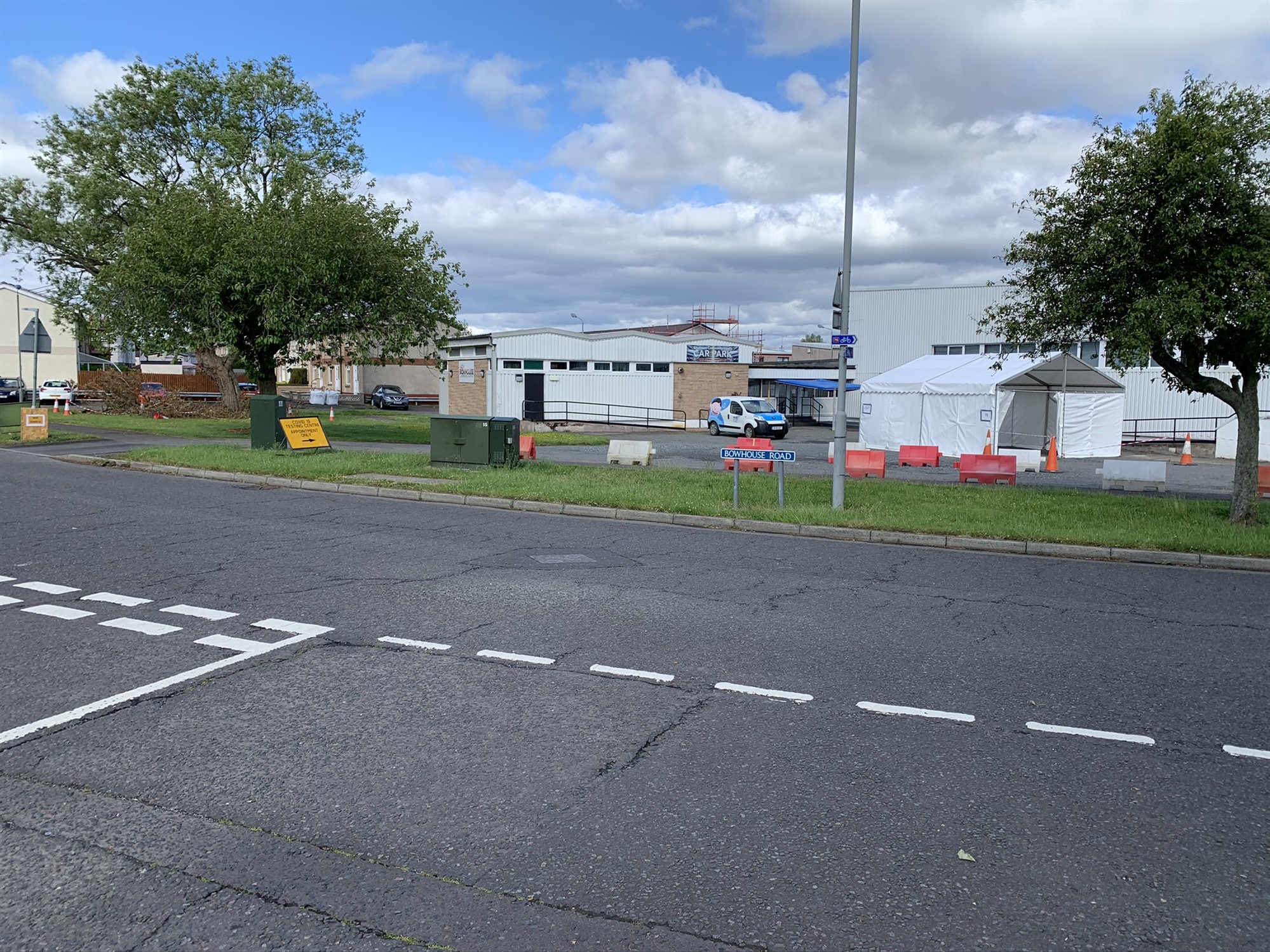
Covid-19 test station
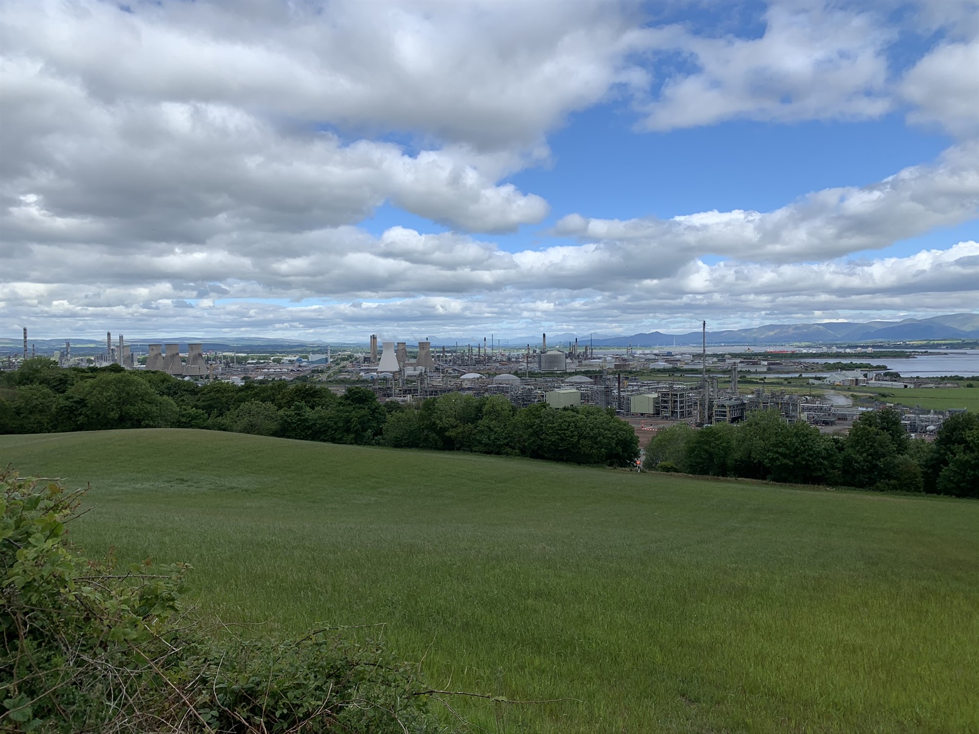
Grangemouth from high
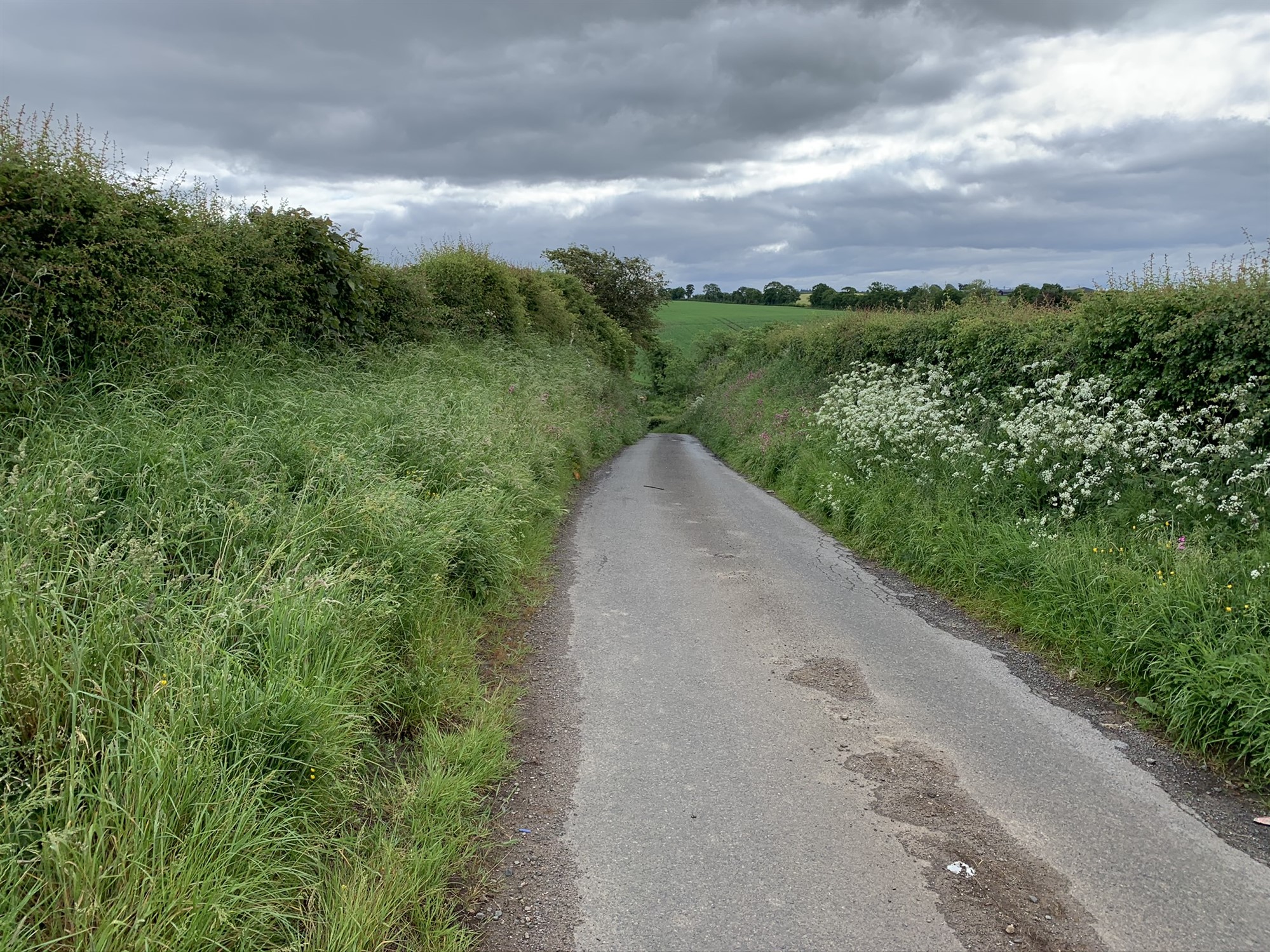
Country road en-route to Kinneil Estate
I chose to follow NCN route 76 for my journey east to South Queensferry, the track wends it way through Grangemouth, flat for the whole trip through the town, I had a quick look to see the wild flower beds in Zetland Park which haven’t reached the display of last year, I assume Covid-19 has restricted work on them but saw signs of grass areas being cut again.
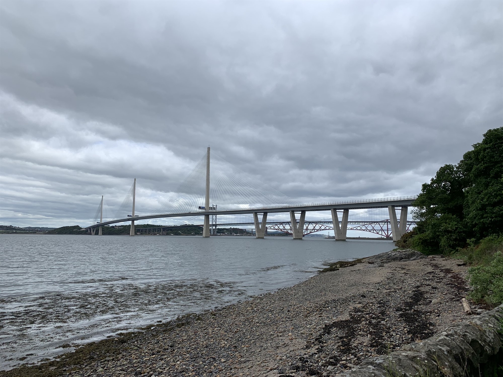
The three Forth Bridges
I was now cycling along beside the Bo’ness and Kinneil Railway, on a good tarmac path before joining the shore path bypassing Bo’ness, Bo’ness? the real name is Borrowstounness, see HERE. A few walkers were out enjoying the early morning sea air. The track follows the shoreline then tracking behind an industrial area, I came to a junction and this time I took time to check for a blue sign and headed off towards Blackness through some wooded areas with rough but easy going tracks.
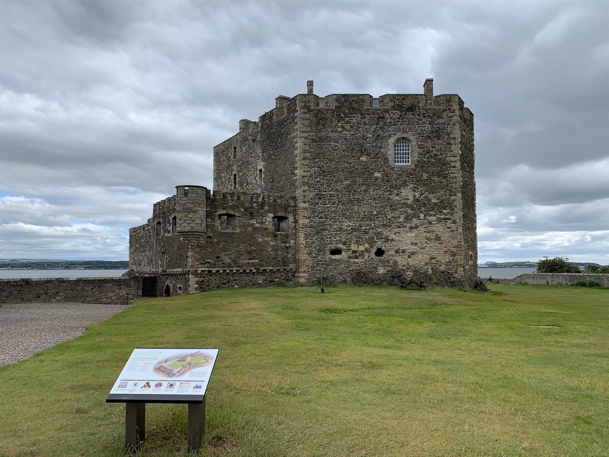
Blackness Castle
The three bridges, the Queensbury Crossing, the Forth Road Bridge and the iconic Forth Rail Bridge were now coming into better view, the road bridge was my place to cross as no cycles allowed on the new Queensferry Crossing.
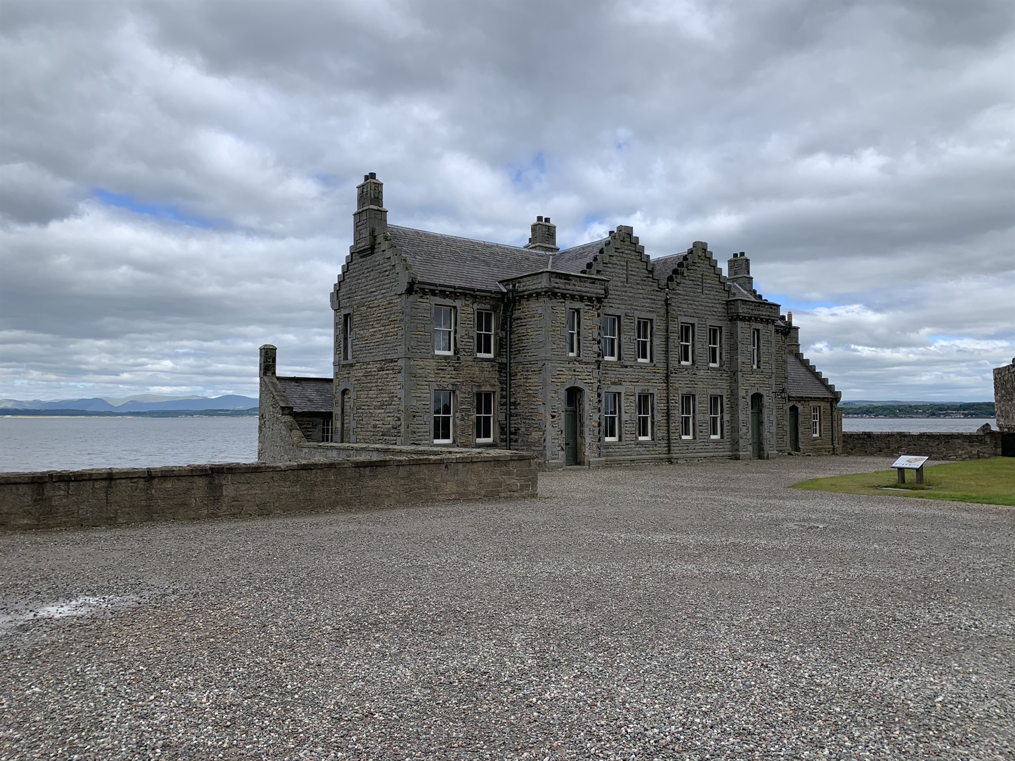
Blackness Castle ancillary building
I took a divert to see Blackness Castle and a quick break for water and some scran..
I set off to wind my way out of Blackness then through a wooded area before heading inland through the grounds of Hopetoun House, a mix of mostly track and tarmac. The track allowed only the sight of the higher parts of the building, note made for a visit in better times.
Leaving the grounds was a downhill run through the impressive stone pillar entrance to the grounds, and soon I was in Queensferry.
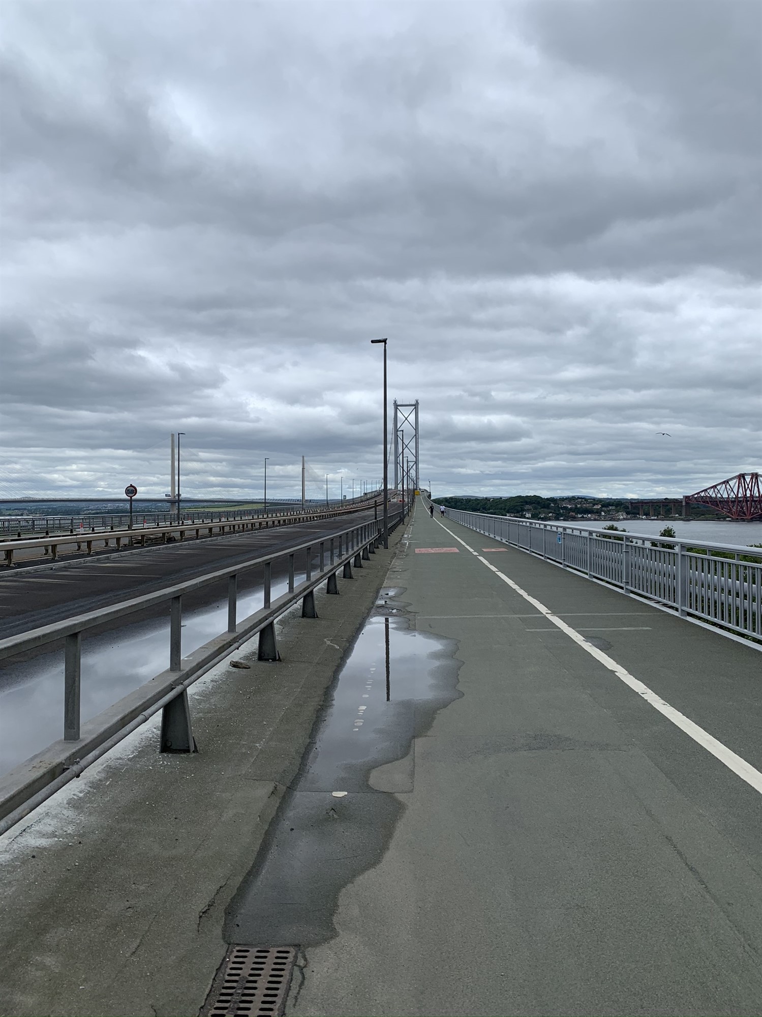
Cycle Track on the Road Bridge

Forth Rail Bridge
I arrived to see the cycle track(s) up to the bridge and unknown to me, the west way was closed so down and up the east side and off across a busy bridge, open now only to pedestrians and cyclists. The support cables are now failing at a slow rate, see HERE.
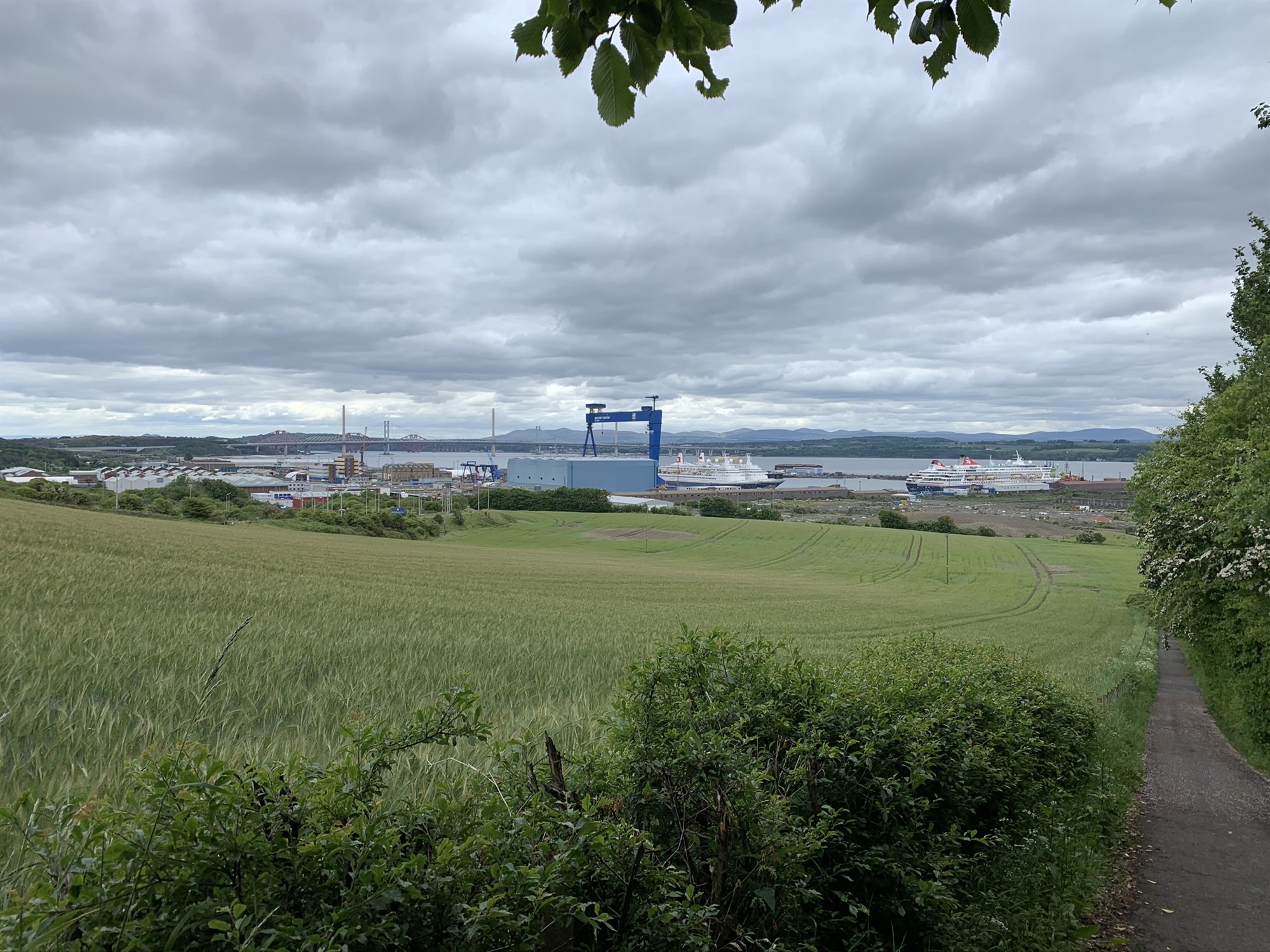
Rosyth
I stopped to chat, at a distance, to a group of cyclists as I came off the bridge, asking so I could double check my proposed route. Finding my way down to Rosyth and skirting past its dock area, rising up past the naval base and joining the A985 before a exit down into Limekilns, a sharp drop down into the shore villages of first, Limekilns then Charlestown. If doing the route again, I might try and avoid this steep single narrow path, I met four folk pushing their way up the hill.
Leaving Charlestown, it was arise back up to join the A905 again, less than a mile later, a short trip through Crombie and the A905 again before dropping down into Torryburn and an excellent shore path before heading up through Newmills, into Low Valleyfield.
I was getting peckish and made a mental note to stop in Kincardine for lunch, but first a run along the shore front at Culross, three miles later I had bought lunch, I thought to stop at the bench at Higgins Neuk, a couple of miles ahead, I cycled over the Kincardine Bridge and took the track which take me down under the Clackmannan Bridge then taking the rough, tarmac single track road to Airth. I stopped at a small bridge and sat on the nearby bench and enjoyed the view and the scran, washed down by Irn Bru…this part of the Forth foreshore, Higgins Neuk was once a ferry crossing point and site of a Royal dockyard, see link section at the end.
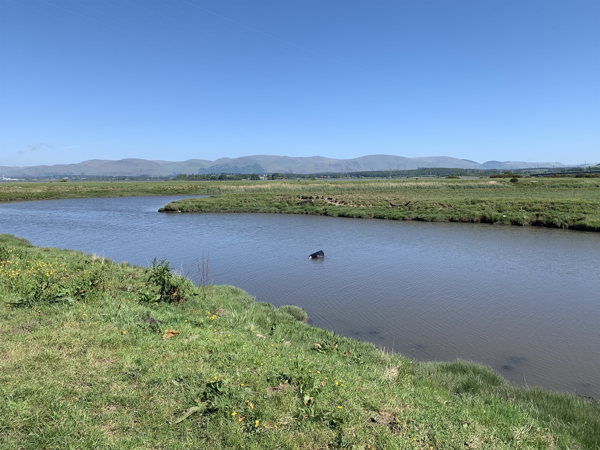
View N from Higgins Neuk
I had time to think of my route to home, Plean, then Bannockburn? I headed towards and through Airth and then taking the B9124, which has become a favourite , where I could turn down past Plean Castle and head towards Larbert joining the A9, and take the B905 at the prominent Larbert church.
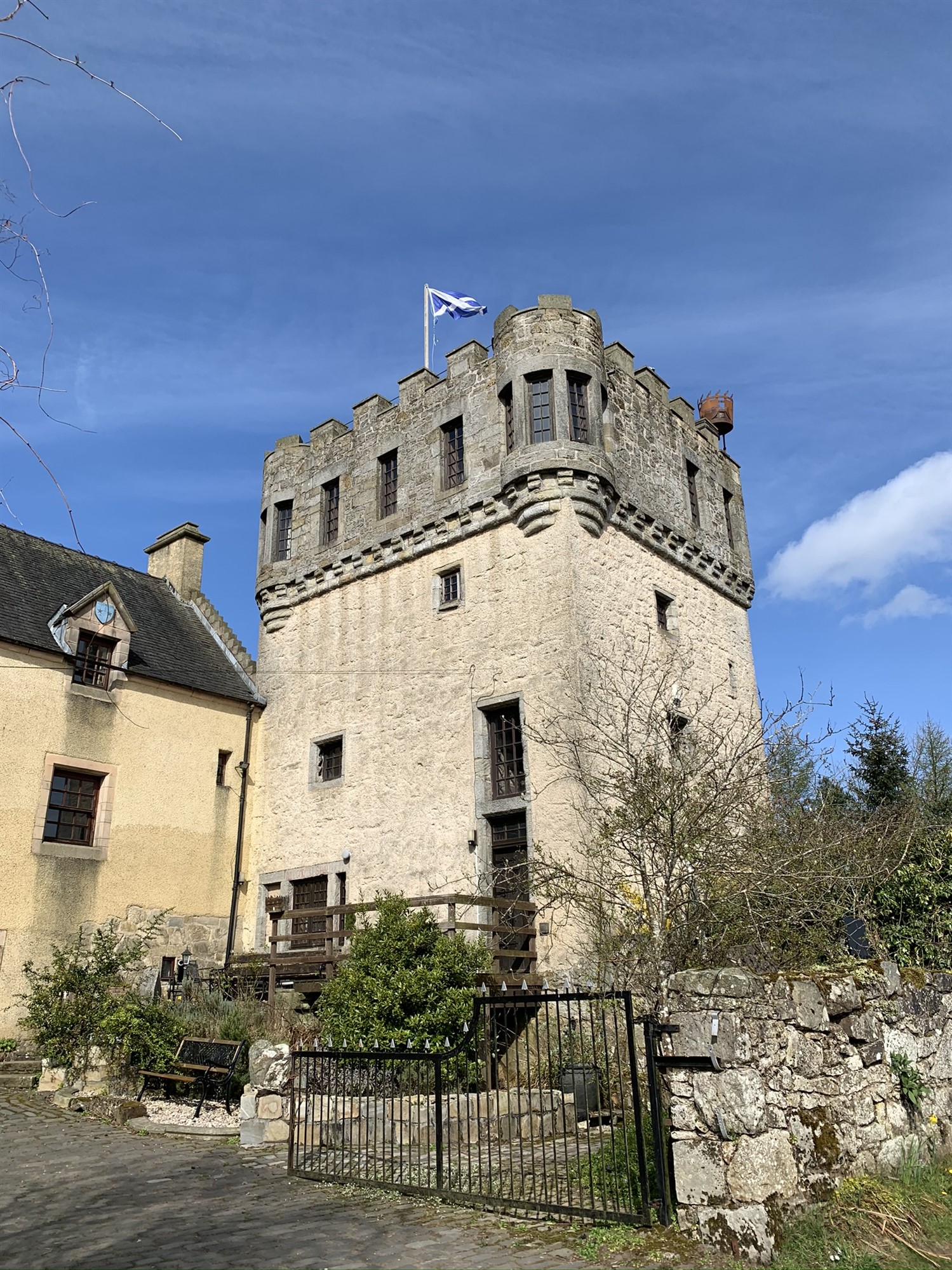
Plean Castle
I would then make my way back to Denny and have over 100 km logged.
I enjoyed that and it was my longest ‘out’ in almost 18 months, I can still do the distance. Didn’t feel that bad after it.
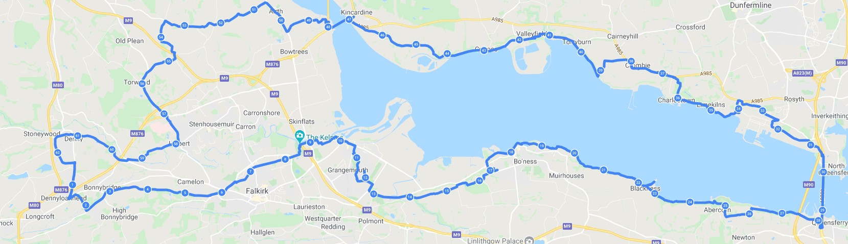
The route I took is a mix of everything, canal bank, through town and villages, rough tacks, shoreline tracks and back country roads, the odd venture onto main roads.
Where next?
The via Stirling to Kincardine route?
Watch this space
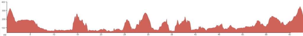
Profile (from Denny)
Wikipedia pages to look at :
Forth Rail Bridge also known as Forth Bridge
Other:
My thanks got to Wikipedia and SCAPE for these links
